Research
Ljósveifla
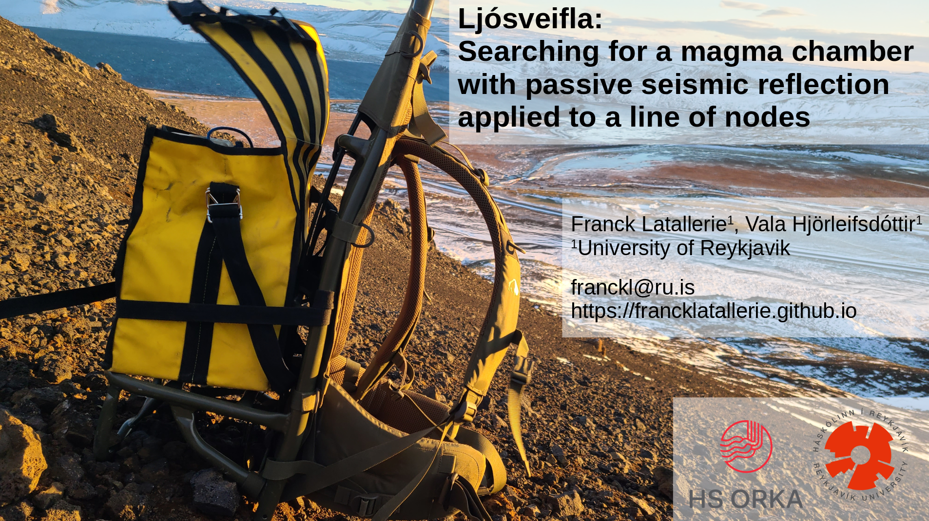
Ljósveifla (light wave in Icelandic) aims to characterise volcanic and geothermal activity at the Sveifluháls ridge in Southwest Iceland. This is motivated by recent seismicity and vertical ground motion detected in the area, together with geothermal activity that can be observed at the surface and the relative proximity to the Reykjavík capital area.
We aim to adapt seismic reflection techniques similar to these applied in the Oil & Gas industry) to passive seismology, to suit the volcanic environement. To this end we deployed a line of seismic nodes (SmartSolo) accross the Sveifluhals ridge and use a DAS (fibre optic) parallel to the ridge along the Klefarvatn road.
This project is in partnership with HS Orka.
Earthlight
Earthlight aims to quantify Vp/Vs ratios for earthquake cluster (or earthquake swarms) in the Hengill volcanic area to decipher the origin of the Earthquake clusters, and detect the potential role of fluids. The project uses the data collected from the recent two dense temporary seismic deployments in the area (DEEPEN and COSEISMIQ).
We aim to apply the Double-Differences methods on local earthquakes P and S wave arrival times to retrieve cluster-averaged Vp/Vs ratios. These Vp/Vs ratios can then be interpreted in terms of geothermal fluids.
This project is in partnership with Reykjavik Energy.
Cooling of the oceanic lithosphere
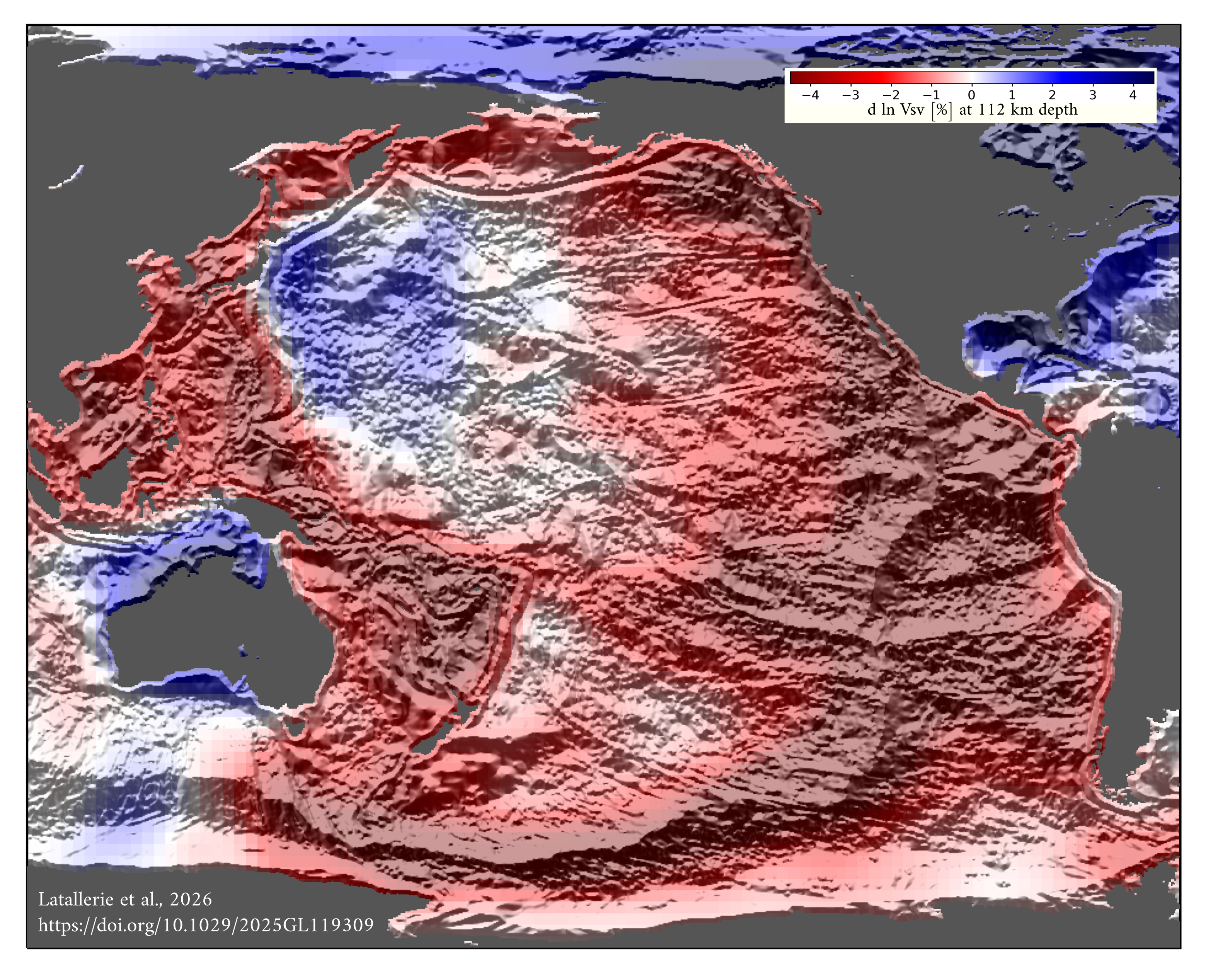
I applied the 3D surface-wave tomography method I recently developped to fundamental Rayleigh-wave data to produce the Vsv structure of the uppermost mantle beneath the Pacific. I called this model SS3DPacific. This model comes with full 3D resolution and uncertainty thanks to the combination of finite-frequency theory and SOLA inversion. I belive this model provides new insights into the thermal structure of the oceanic lithosphere. Below is the poster I presented at the MODES workshop in Oxford (April 2025) and Imaging Planetary Solid Dynamics workshop in Cambridge (April 2025).